NASA Launches Ocean Level Tracking Satellite Today

0
294

NASA Launches Ocean Level Tracking Satellite Today

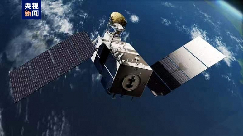
Thirty years of NASA satellite observations of sea levels show that water levels are rising and the land is receding. As a result, coastal areas are becoming a place of close observation, as the risk of flooding, hurricanes, and threats to shipping and industrial fishing increases. The accuracy of observations will be ensured by the latest satellites Sentinel-6 and Sentinel-6B. The first should be launched today and the second in five years.

Tracking Satellite
Tracking Satellite

The first of a pair of satellites for observing the level of the World Ocean – Sentinel-6 – was named after the American oceanographer Michael Freilich. The live broadcast of the preparations for launch on the SpaceX Falcon 9 launch vehicle will begin at 19:45 Moscow time, and the launch itself should take place at 20:17. “The best front-row view of the ocean is from space,” says Thomas Zurbuchen, NASA’s scientific director.

In addition to the general dataset on global climate change associated with warming and melting polar ice caps, data from the Sentinel-6 satellite will help improve weather forecasts. In particular, we are talking about predicting hurricanes, which is very clearly visible from sea level near coastlines. Before the hurricane begins to form, the water level rises, forming a kind of bubble in the danger zone, which will be one of the signals for announcing an alarm.

Tracking the dynamics of the level of the World Ocean is, of course, extremely important for the development of coastal zones in many countries. After all, there is no point in investing resources in areas that in the near future will go underwater or will be deprived of certain resources or prospects due to the onset of the waters of the World Ocean.

Also Read:  Photo of the day: galactic drainpipe captured by the Hubble telescope